Hurricane Sandy: Webcams and Satellites Capture Scary Images

Several cities in the United States are on alert because of the approaching danger: Hurricane Sandy, which is now considered the largest hurricane ever in Atlantic history. The winds are with speeds ranging from 51 to 101 km / h and already reach an area with a diameter of 1.5 thousand kilometers.
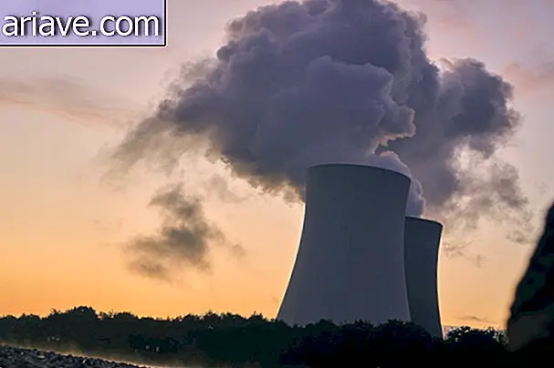
The image that opens this news was captured by NASA and shows Sandy's threatening presence near the United States. Market shelves in some cities are practically empty as many are trying to build a supply of groceries to cope with the coming disaster.
Google provides page with updated information
Hurricane Sandy even upset Google's plans, which had to cancel its October event on the Android operating system due to alarming circumstances. However, the company has published a map that helps not only keep track of the storm and show the current position of the hurricane, but also predict the route it will take.

In the right sidebar of the page, you can also enable viewing of webcams and YouTube videos that demonstrate Sandy's effects, as well as learn about where safety shelters are available. Those who prefer can also follow the event by other cameras available on the Internet, such as New York Harbor, Brooklin Bridge, Statue of Liberty or Atlantic City Beach.
US suffers from lagged satellites
As if all the worry about Hurricane Sandy was not enough, the United States seems to be experiencing a certain lag in satellites dedicated to climate monitoring. According to The New York Times, today's satellites are already too old and the country's weather forecast program needs to be updated urgently.
A new satellite should only be launched in 2017 and will not be enough to prevent the United States from facing a period of forecast failures that could last up to a year. Meanwhile, thousands of residents of the regions to be hit continue to abandon their cities, as the hurricane is likely to cause not only strong winds, but also flooding and heavy snowfall.
Source: NASA, The New York Times, Google Crisis Map Sandy 2012, Reuters, EarthCam, Surfers View, NY Harbor webcam